Here are some 360° panoramas that I (* ») have taken; for more from Northern Spain, see the Speleogroup panoramas » page.
- To see a full-size image, click on a thumbnail.
For these 360° images it’s best to save them as a full-size image and them view them with a 360° viewer. - To save a full-size image, ‘save link as’ or ‘save target as’ (most browsers allow this on right click on the thumbnail).
- To view that saved image as intended, there are many options. I have written, and recommend using, PanGazer » because it is designed for 360° images and among its many features it lets you compose and save ‘regular’ images from any view of the spherical image.
These 360° spherical panoramas have mostly been taken with DJI drones and various ground-based 360° cameras (such as the Ricoh Theta Z1); the notes below identify the camera/platform used.
Please see the imaging page for other panorama types.
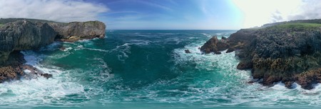
| The Cobijeru sea cave, Asturias, seen from the sea.
Taken using a DJI Mavic 2 Pro drone, 2022.06.13. See the Speleogroup 2022 log » for context. | |
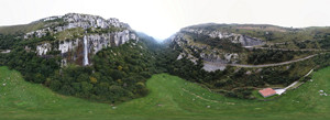
| The source of the Río Asón, Cantabria, and its waterfall.
Taken using a DJI Mavic 2 Pro drone, 2021.09.22. See the Speleogroup 2021 log » for context. | |
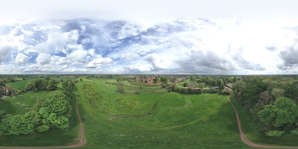
| Kenilworth Castle, Warwickshire.
Taken from the south at +40m using a DJI Mini 4 Pro drone, 2024.05.15; this image is filled around the zenith to complete a sphere. See the Kenilworth Castle album for a 360° at head-height and many ‘flat’ panoramas. | |
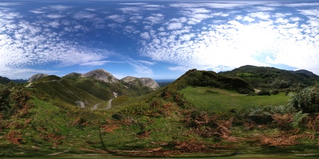
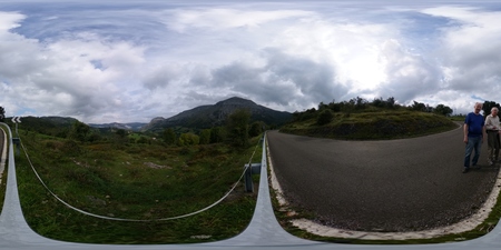
| The Alto de la Tornería, near El Mazuco, Austurias.
Taken using a Ricoh Theta Z1 360° camera, 2021.09.19. See the Speleogroup 2021 log » for context. | |
| Bejes, near La Hermida, Cantabria.
Taken using a DJI Mavic 2 Pro drone, 2018.05.22. See the Speleogroup 2018 log » for context. | |
| The Cruz de Usano, near Matienzo, Cantabria.
Taken using a Ricoh Theta Z1 360° camera, 2021.09.22. See the Speleogroup 2021 log » for context. |
Legend:
| 360° | 360 degree partial sphere drone panorama (showing nadir but not zenith) using equirectangular projection (.jpg). |
| 360°×180° | 360×180 degree full sphere panorama using equirectangular projection (.jpg). |
The pages and data here are for non-commercial use only. All content © Mike Cowlishaw, 1963, 2025. All rights reserved. Please see http://speleotrove.com/mfc/ » for contact details.
Privacy policy: the Speleotrove » website records no personal information and sets no ‘cookies’. However, statistics, etc. might be recorded by the web hosting service.
This page was last edited on 2025-02-21 by mfc.
